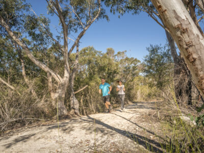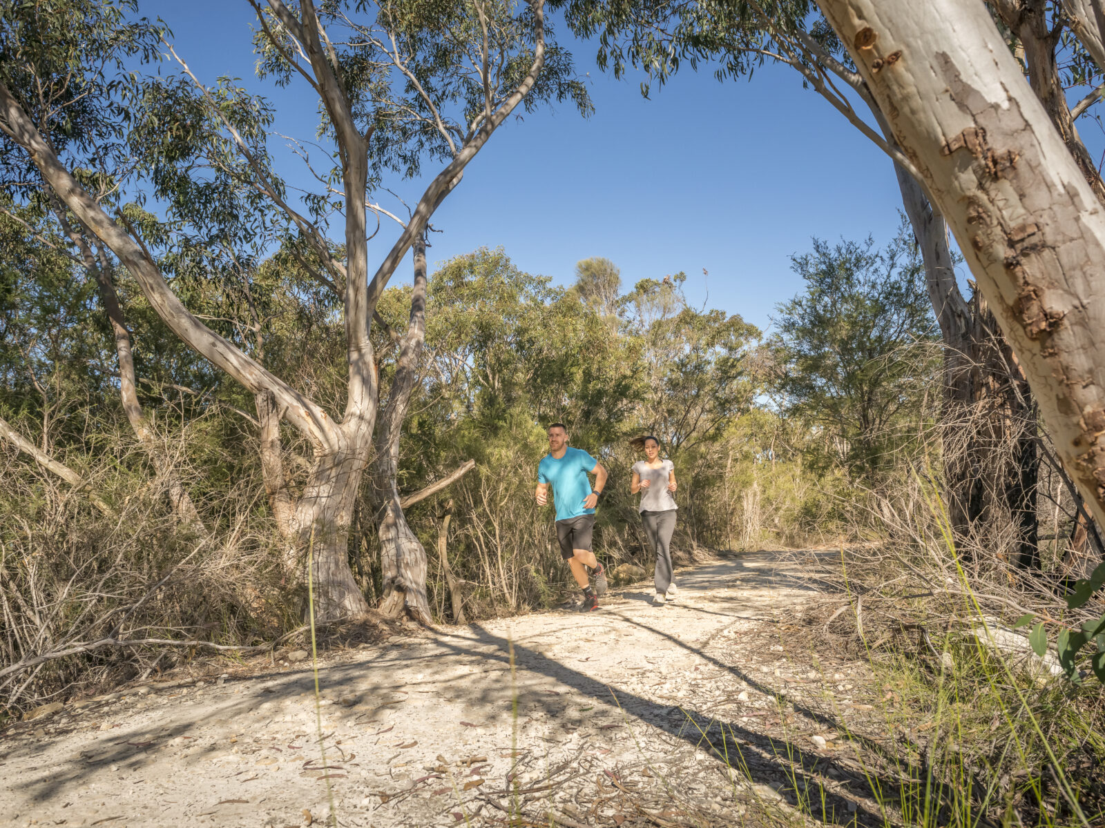


There are few things in life that are better than running along a beautiful section of trail. The bird song in the trees and the sweeping views, the sweaty climbs and the breezy descents, they all blend together into an unmatched day out. You might even forget how much effort you’re putting in.
Of course, enjoying a trail run means that you have to like (or at least have a love/hate relationship with) running. Yet some people run for their entire life and never take a step off the asphalt.
With running going through a boom and run clubs popping up quicker than you can say ‘zone two heart rate training’, we thought it was time more people knew that running in nature can be better for your mind and body. Luckily, NSW national parks has heaps of great trail runs on offer.
Not only are the routes world-class, but there are options for everyone. We’ve chosen a selection of ten routes from around the state to get you started – trails that follow clifflines, track rivers, or climb over mountains. Whatever you’re after, scenic scenes are a promise.
Wait! Before you hit the trails, it’s worth noting that trail running requires a little bit more planning and packing than a regular run. If you’re new to this, we’ve got some handy tips for you at the end of the article.
-
Beginner trails
Manly scenic walkwayWhere: Sydney Harbour National Park
How far: 10km one-way
Vertical gain: 151m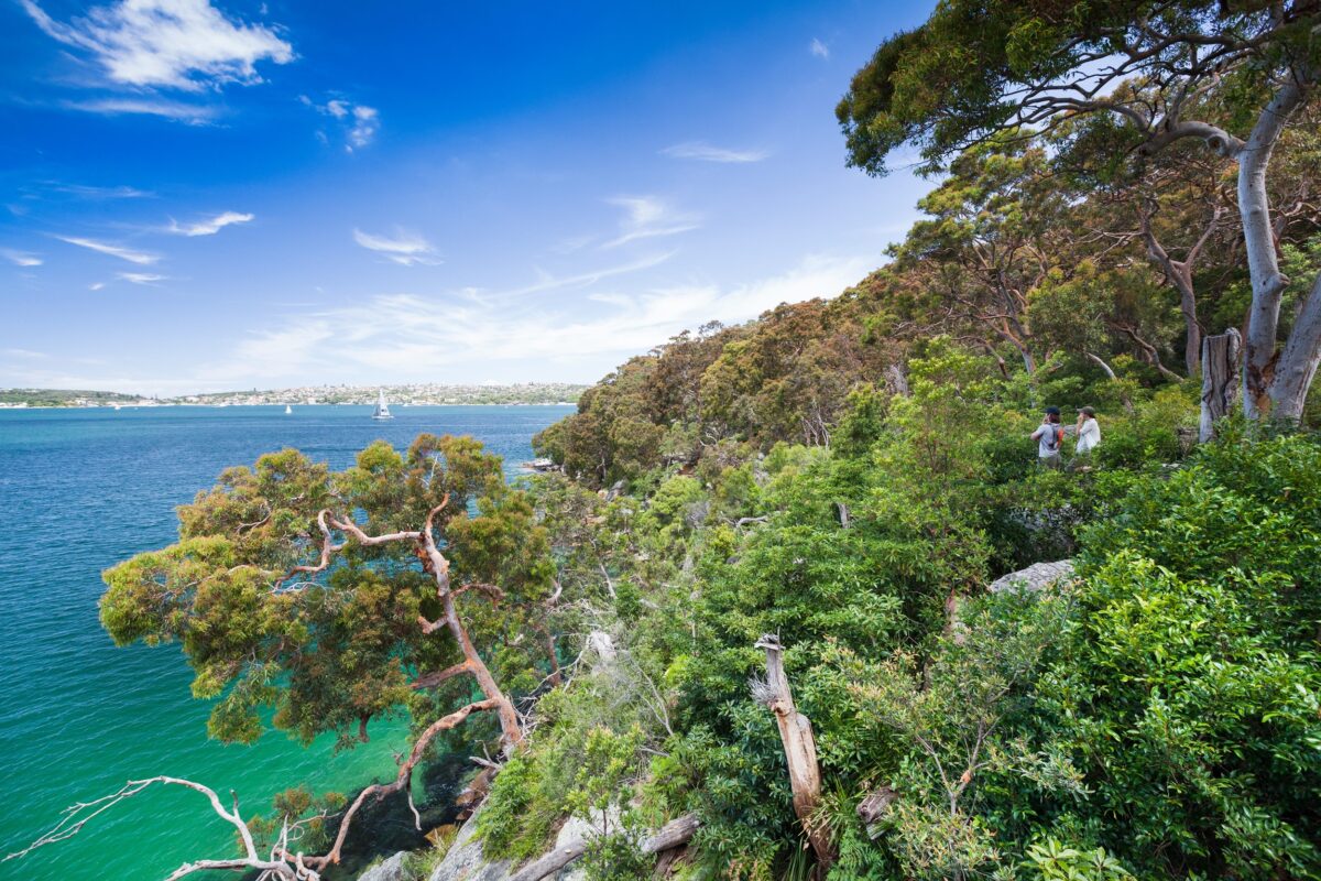 Photo Information
Manly scenic walkway
Sydney Harbour National Park
David Finnegan/DCCEEW
This famous route follows a stunning coastal trail from the Spit Bridge to Manly Wharf, which is why it’s often called the ‘Spit to Manly’ (it’s part of the 80km Bondi to Manly walk). Starting at the northern end of Spit Bridge, you’ll run past Sandy Bay and Clontarf Beach before entering the national park at Castle Rock. From here, you’ll wind your way through bushland to Dobroyd Head. Look out for walkers and runners coming the other way as this part of the track is a bit narrow! It’s a big climb too, so don’t worry if you need a rest from the endless stairs!
At the top, you’ll reach Dobroyd Head lookout with its soaring view over the Pacific Ocean, Sydney Heads and Manly. Look out to North Head and see if you can spot Q Station, another part of Sydney Harbour National Park to visit on your next nature outing. From here, you’ll run down the steps past Reef Beach and Forty Baskets Beach, both of which are great for a mid-run swim. Then it’s onto the paved Fairlight Walk for a fast finish into Manly.
View this post on InstagramManly scenic walkway is well-serviced by public buses and you can even get the ferry back to Sydney’s CBD at the end. There are public toilets at Reef Beach and a bubbler at Forty Baskets Beach for water, so you can fill up and stay hydrated on a hot day. You can join at many parts of the track if you’re not quite up for 10km, and while the track is well made and maintained, come prepared for rocks, roots, puddles and pavement.
Ranger tip: Remember, the trails are for everyone! Let people know you’re coming up behind them, and be patient when passing.
View this post on InstagramHow does running through coastal rainforest and catching your breath while looking for whales sound? The Korogoro walking track circles Korogoro headland and is home to banksias and rare kangaroo grasses that spend all day in front of the best views imaginable. The dark cross-hatched rock of the headland cliffs contrasts with the sharp blue of the ocean, while white flannel flowers coat the heathlands in spring.
This grade 4 track has rough elements and steep sections thanks to the hardy rock of the headland, as well as some more runnable dirt and grass sections. Luckily, it’s trail running, so you’re allowed to walk as much as you like. If 3.2km isn’t quite enough, add on an out-and-back on the 3.7km Connors walking track, which follows the cliffline south and features a blowhole and the possibility of a swim at O’Connors Beach or Third Beach.
View this post on InstagramRanger tip: Unpatrolled beaches can be dangerous. Always check the conditions and swim well within you limits. Check out our tips and if you’re not sure, save the swim for another day.
Riverside walking trackWhere: Lane Cove National Park
How far: 5km one-way (optional 10km loop)
Vertical gain: 87m one-way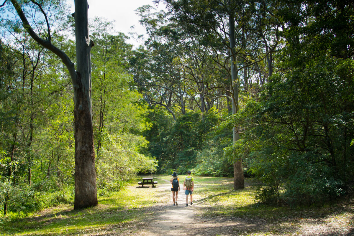
The Riverside walking track is less than 10km from Sydney’s CBD, but it doesn’t feel that way. Swamp wallabies regularly bound across the trail, while water dragons scurry away at the sound of your approaching footsteps. On the right, the Lane Cove River slips softly by as you wind beneath tall gums and dense ferns.
The track starts at the Lane Cove weir and heads upriver, keeping the water on your right. You’ll begin with some boardwalk and concrete as you get warmed up, before hitting the dirt around the boatshed. A few rockier and more technical sections appear early (you can walk these if you need). It then stays mostly even underfoot, with a few punchy climbs.
View this post on InstagramThe beauty of the Riverside walking track is that you can choose how far you go and simply turn around, or exit the trail at multiple points to the nearby road if you’re not feeling it. For those not into backtracking, you can cross De Burghs Bridge at the end and run along part of the Great North Walk on the other side of the river for a 10km loop, but be aware that the other side is steeper and rockier, so it’s not great for beginners.
Woodford – Oaks trailWhere: Glenbrook area, Blue Mountains National Park
How far: (Up to) 27km one-way
Vertical gain: VariesView this post on InstagramDon’t worry, we’re not suggesting you run the whole thing! The Woodford – Oaks trail gives you a chance to get out of Sydney and onto some easy-to-run fire trail in the Blue Mountains without having to be stressed about cars, rough trail or steep hills. It’s a brilliant introduction to trail running in national parks. Our tip is to drive from Glenbrook to The Oaks picnic area (pay your park entry on the way through) and park your car there.
From here, you can begin your run by heading further up the trail and quickly passing the locked gate. Enjoy the casuarinas and wildflowers flitting past and keep an eye out for black cockatoos, you might hear them first! The trail is slightly uphill in this direction, so your return journey will feel like a breeze. Bikes and any maintenance vehicles will come towards you, so make sure you stay alert and keep left, so that everyone can use the trail safely.
-
Intermediate trails
Bouddi coastal walkWhere: Bouddi National Park
How far: 8.5km one-way
Vertical gain: 430m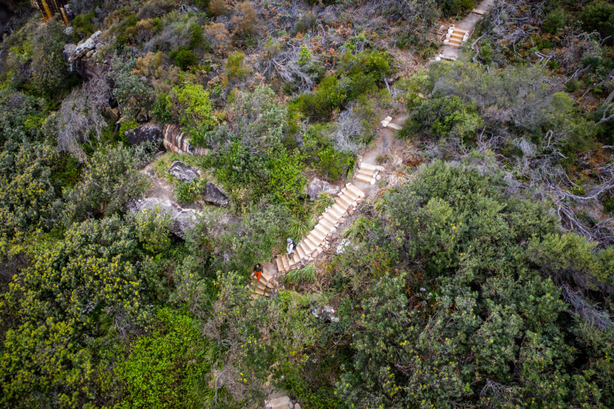
This coastal trail has to be one of the most beautiful in the state. From Putty Beach you’ll follow the cliffline to Maitland Bay, passing panoramic views and the intriguing tessellated pavement. After running along the sand you’ll then climb again, making sure not to go left up Mount Bouddi, before exploring coastal heathland and rainforest on the way to MacMasters Beach.
Trail runs are always better when they’re one-way, so it’s best to arrange a car shuffle or lift back to Putty Beach. You can even make a weekend of it with a stay at Putty Beach campground, where you can run right onto the sand.
View this post on InstagramThis route features a lot of well-formed trail and boardwalk, but it’s a bit hillier than the beginner trails and features some sand running. Take your time, walk the climbs and make sure your snacks are plentiful, and you’re in for a great day out.
Race tip: The Bouddi Coastal Run offers a tough 14km and 21km race along these trails if you’re after a challenge!
Birubi Point to One Mile BeachWhere: Tomaree National Park
How far: 7.5km one-way
Vertical gain: 178m Photo Information
This is a special place. Take a moment to admire the views and reflect on culturally significant landscape to the Worimi People
Birubi Point Aboriginal Place
Tomaree National Park
Remy Brand / DPE (2022)
This gorgeous route takes in a scenic section of the 2-day Tomaree Coastal Walk. You’ll pass tiny, pristine beaches, traverse jagged rock platforms and wind beneath coastal gums as you run along the grade 3 track.
Before you set out, take some time to experience Birubi Point Aboriginal Place where you’ll learn about the local Worimi People and their connection to Country. The dunes of the Worimi Conservation Lands to the south stretch for 32km and are the largest moving coastal sand dunes in the southern hemisphere – they’re a sight to behold.
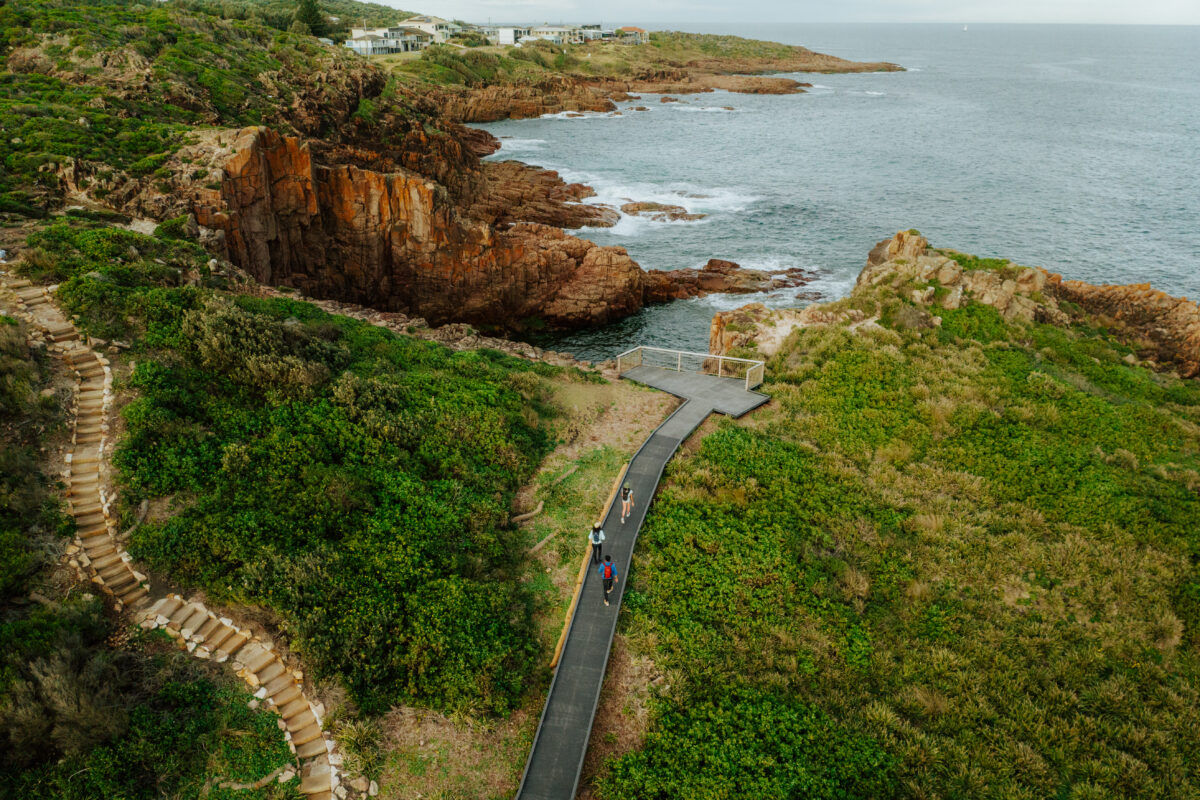 Photo Information
Iris Moore Reserve
Tomaree National Park
Remy Brand / DPE (2023)
Start running toward One Mile Beach and you’ll quickly get another cracking view from Iris Moore lookout. From here, you’ll pass over heathland and through lush gullies, passing the tiny villages of Fishermans Bay and Boat Harbour (both have public toilets and places to refill your water). You’ll see some cute little beaches, but save your swims for the start and end of the run, as both these beaches are patrolled by the local surf lifesaving clubs.
Leaving Boat Harbour, you’ll begin the biggest climb of the day, but you’ll get a small break early at the awesomely deep Slot Canyon lookout. Once you’ve finished the climb, enjoy the rolling descent down to One Mile Beach. Remember to take care to give way to other trail users, you’re trail running, no one’s comparing times!
Sphinx Memorial to Bobbin Head loop trackWhere: Ku-ring-gai Chase National Park
How far: 10km
Vertical gain: 255mView this post on InstagramIt’s hard to choose just one trail run in this park, but Sphinx Memorial to Bobbin Head loop track is a local favourite. Warm up on the open surface of Bobbin Head trail which carries you along the ridgeline before a steep descent to Cowan Creek and Bobbin Head. Don’t forget to check out the view before the final section, which becomes a steep single track – watch your step.
At the bottom, you can head right to continue the loop, or take a left into Bobbin Head to hit the Visitor Centre for a refuel, it’s open from 10am-4pm.
Next you’ll follow the trail as it meanders alongside the mangroves, and past waterfalls on the Warrimoo track (taking care on slippery surfaces) before the real fun begins. The Sphinx walking track is steep, with stairs aplenty, gorgeous rough bark ferns and a striking 100-year-old memorial at the top. So grab a snack and hike it out!
View this post on InstagramHot tip: If you love these trails, check out the Jabulani Challenge, which is held at Bobbin Head every year and offers a range of distances.
-
Hard trails
Charlotte Pass Village to Perisher Valley walkWhere: Kosciuszko National Park – Thredbo-Perisher area
How far: 12.7km one-way
Vertical gain: 416m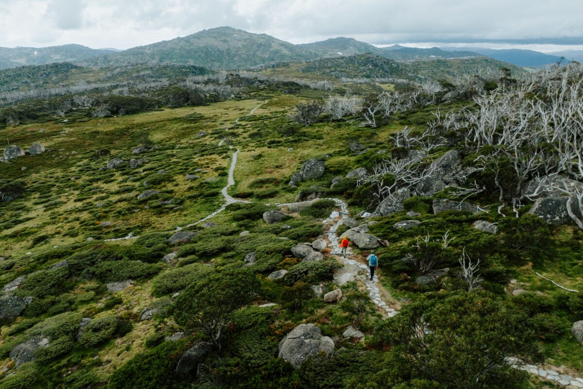 Photo Information
Charlotte Pass Village to Perisher Valley, Snowies Alpine Walk
Kosciuszko National Park
Daniel Parsons/DCCEEW (2024)
If you’re after a real alpine trail running challenge then day three of the Snowies Alpine Walk has your name on it. Don’t be fooled by the net downhill elevation, this undulating trail from Charlotte Pass Village to Perisher Valley still has lots of climbing as it winds through alpine valleys, groves of snow gums, granite outcrops and, in spring and summer, meadows of wildflowers.
Ranger tip: We recommend walking on all sections of the raised platform to avoid slips and falls.
With views of the Main Range at your back, you’ll also be treated to views into the Thredbo Valley from Porcupine Rocks – an essential side trip before you roll into Perisher.
As this run is in a changeable alpine environment, you’ll need a good running pack to store extra layers (including a beanie and gloves), food, water and a PLB or satellite messenger. Packing multiple thin layers lets you tailor your comfort level to prevent getting cold or sweaty.
View this post on InstagramThe route can’t be run between June and October as it is covered in snow and snow can hang around, so pack your grippiest shoes.
Race tip: Want to ‘run the high’? Check out Ultra Trail Kosciuszko which runs annually on these trails.
Breadknife and Grand High Tops walkWhere: Warrumbungle National Park
How far: 14.5km one-way
Vertical gain: 636m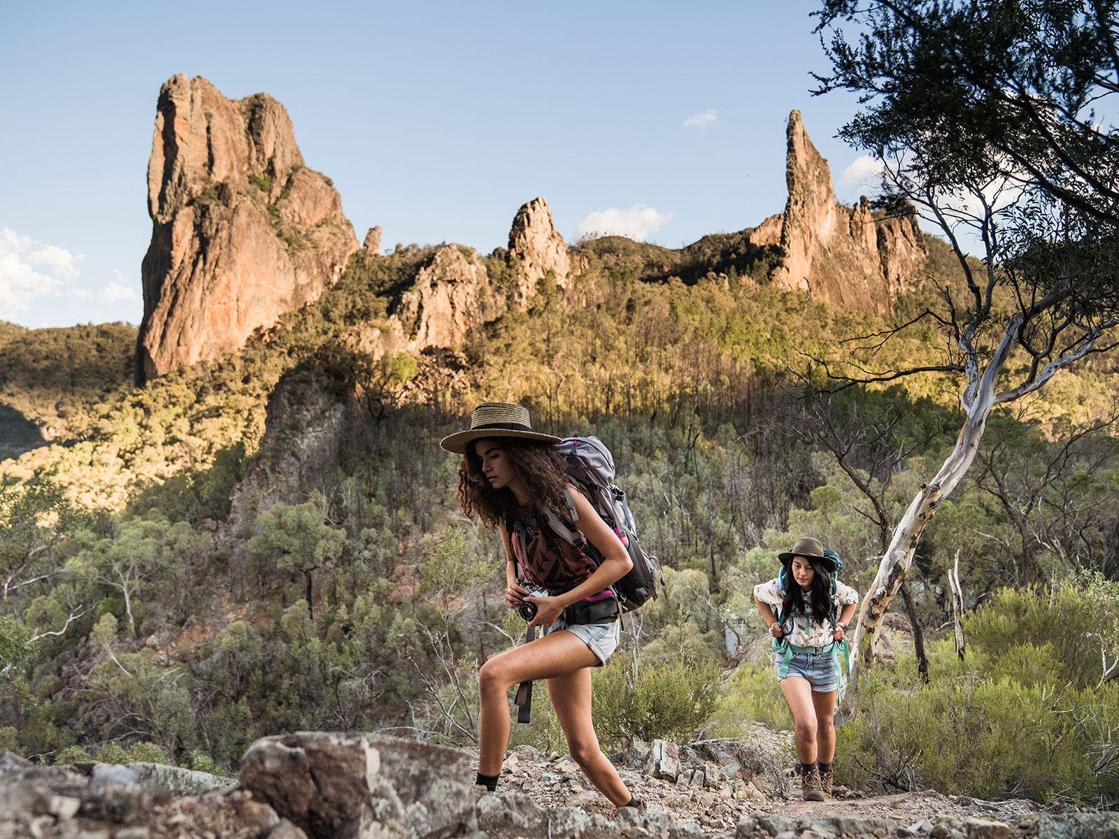 Photo Information
Hiking on the Grand High Tops walk to see the Breadknife.
Breadknife and Grand High Tops walk
Warrumbungle National Park
Rob Mulally/DCCEEW (2018)
Stretch your legs on a rural road trip to one of the best trails in NSW. The Breadknife and Grand High Tops walk is a popular day walk six hours north-west of Sydney that winds through volcanic spires and otherworldly formations that have to be seen to be believed. Add in panoramic views and blooming wildflowers and you’ve got a seriously iconic day on your hands.
View this post on InstagramYou’ll need your climbing legs with most of the 600m-plus of ascents happening in the first 5km (power hike this section to save your energy for the rest of the track). Start early to beat the heat and make sure you’re carrying plenty of water, as it can be hard to come by up on the plateau. The terrain is mostly very runnable, but sometimes steep and technical, take it easy if you’re close to any drops.
If the descent has been a challenge, keep an eye out for Dagda Shortcut, which will shave 2km off your return run to Pincham carpark.
Grand Cliff Top walk
Where: Blue Mountains National Park
How far: 19km one-way
Vertical gain: 795m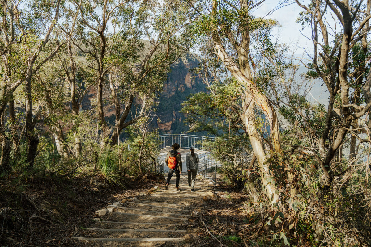 Photo Information
Gordon Falls lookout, Grand Cliff Top Walk
Remy Brand / DCCEEW (2023)
Although it’s usually hiked over two days, the Grand Cliff Top walk can be tackled in one day by experienced trail runners. The route travels from Wentworth Falls to Katoomba and is fully accessible by train if you don’t mind a bit of extra running once you reach Scenic World.
There are far too many highlights to list here, with dozens of scenic viewpoints, waterfalls, cliff lines and microclimates, it’s a stunning way to see the best of the Blue Mountains. But be warned, it is tough. Although mostly on well-formed and runnable trails, the route features steep climbs and quad-burning descents. Make sure you pack all the snacks (or plan to stop in at the Conservation Hut), as it’ll probably take you longer than you think.
View this post on InstagramRace tip: Australia’s premier trail race, Ultra Trail Australia, tackles these very trails.
Pro tips for trail running
Trail running is a great way to see NSW national parks, but it’s not quite the same as rocking up to your local run club. Follow these tips to make sure everyone has a great day out:
- Always pack more water than you need, a quality running vest with a bladder makes this easy. Hydration mix will help you replace salt lost from sweat.
- Trail running shoes have better grip and stability than road running shoes, consider getting a pair (they’re great for hiking too!).
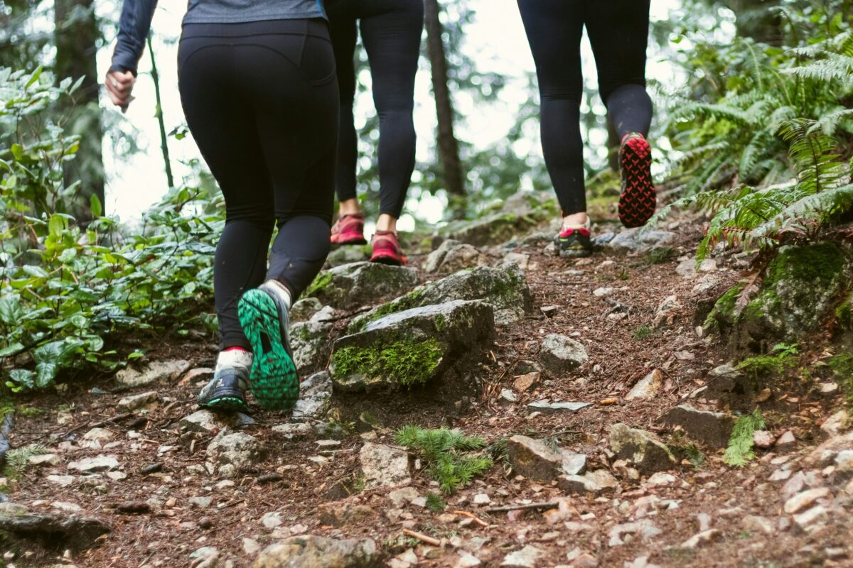
- Give way and slow down for oncoming hikers and other trail runners on tight trails, but avoid stepping off the trail onto delicate vegetation.
- If you’re coming up behind walkers, a friendly hello will help you to avoid scaring them.
- Take a charged mobile phone with the Emergency Plus app and NSW National Parks app.
- Avoid running alone, it’s always safer in a group.
- Always let people know your plans, and when you expect to be back.
- Check park alerts and the weather forecast before you set out.
- Snacks, sunscreen, sunglasses and a good hat are your friend.
Things to consider for remote areas and challenging runs:
- A snake bandage.
- A lightweight, seam-sealed waterproof jacket.
- Thermal layers, gloves and a beanie.
- A PLB or satellite communicator.
- Water purification tablets.
- Filling out a Trip Intention Form.
Trail running can be much faster than hiking and runners carry far less than hikers, but it’s important to still carry these essentials and pay attention to the weather and warnings when entering remote areas.