

Everyone knows Byron Bay for its beach vibes, drum circles and frothy turmeric lattes, but most people don’t know that, tucked in between the mountains and the border, a rainforest paradise awaits.
Rally the troops! It’s time for a rainforest road trip!
-
To the Border Ranges!
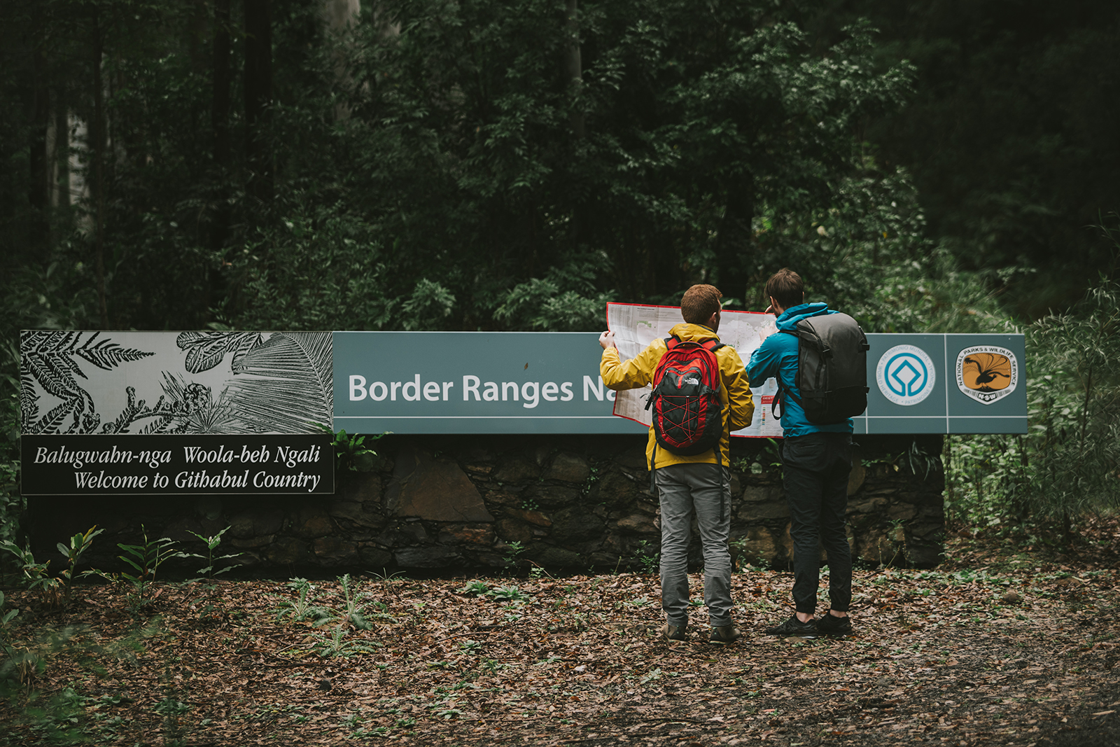 Photo Information
Good to know where you’re going.
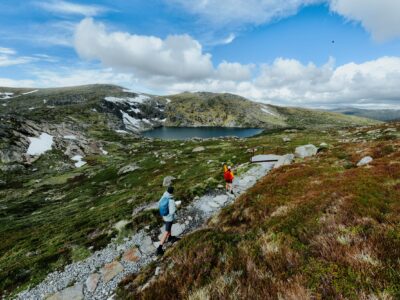
Border Ranges National Park
Branden Bodman/DPIE (2018)
To start your road trip mission head inland to the cute little town of Kyogle (it’s about an 80 minute, 90km drive from Byron Bay).
Hit the visitor centre for the latest info and fuel up at the local bakery before launching into the Border Ranges National Park. Drive north for 15 minutes along Summerland Way to Wiangaree, then turn right onto Lynchs Creek Road and drive for another 20 minutes (and 16km) to get to the national park – you can expect signs from here to Sheepstation Creek.
Sheepstation Creek
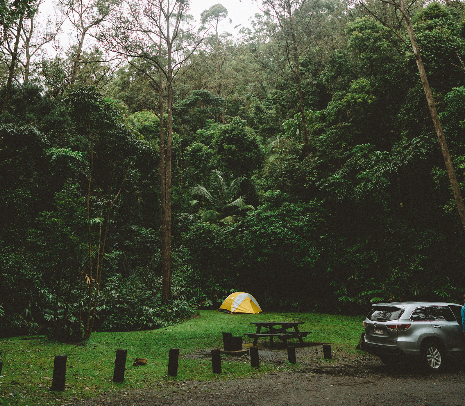 Photo Information
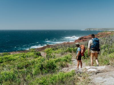
Nestled amongst Gondwana rainforest.
Sheepstation Creek campground
Border Ranges National Park
Branden Bodman/DPIE (2018)
Driving Note: The Tweed Range Scenic Drive is a well-maintained gravel road, accessible to 2WD cars in good weather.
Palm Forest Walk
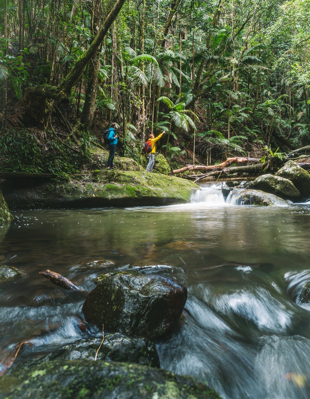 Photo Information
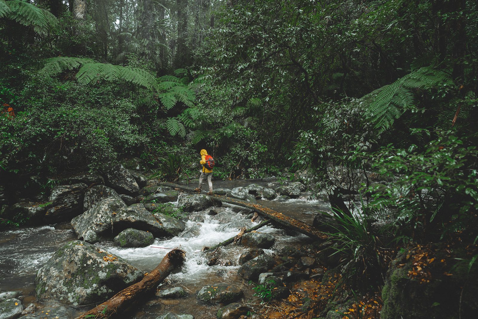
Palm Forest walking track
Border Ranges National Park
Branden Bodman/DPIE (2018)
Leaving from Sheepstation Creek, the leisurely Palm Forest walk offers easily accessible, subtropical nourishment. You might catch colourful rainforest birds, like the Wompoo Fruit-Dove and stunning jet-black riflebirds, making their iconic calls if you move quietly.
View this post on Instagram
After only a kilometre of strolling in the shade of palms and strangler figs you’ll get to admire the cascades of Brushbox Falls. Ahh, serenity.Brindle Creek
View this post on Instagram
Next stop is Brindle Creek picnic area ,an easy half-hour, 8.4km drive from Sheepstation Creek. You can go on a short jaunt down the Red Cedar walking track to experience these massive, 1000-year-old trees, or commit to the 6km one-way Brindle Creek walking track. You don’t know moss until you’ve walked this track – it’s inches thick on the roots of ancient trees thanks to the misty microclimate of the plateau.Swim Responsibly: If you’re keen for a dip make sure your skin is free of sunscreen and insect repellant – it’s harmful to sensitive rainforest frog species. Oh and stay safe!
The Pinnacle
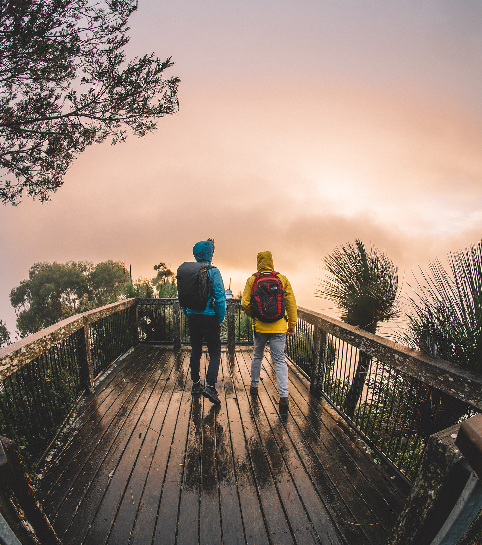 Photo Information
The view is incredible, even if the weather is a bit shady.
Pinnacle Lookout
Border Ranges National Park
Branden Bodman/DPIE (2018)
Continuing for another half-hour, 15km cruise along Tweed Range Scenic Drive you’ll soon hit the edge of the escarpment. The escarpment is actually the edge of a caldera, a large depression formed after the Tweed Shield Volcano erupted 23 million years ago.
A short walk through World Heritage Gondwana Rainforest brings you to the Pinnacle Lookout where you can stand in slack-jawed awe on the edge of the caldera and gaze out towards Wollumbin (Mt Warning), the volcanic plug in its centre, and the ocean.
Sunrise Session: Wollumbin (Mt Warning) is the first place on the East Coast mainland to see the sun rise. Whilst the Traditional Owners ask that you don’t climb it, a greater spectacle can be had watching its silhouette from the Pinnacle Lookout.
DownloadNSW National Parks appDownload your next adventure
-
Nightcap? But I Just Woke Up!
View this post on Instagram
Rainforests and waterfalls are the ultimate power couple and no park knows this better than Nightcap National Park.Protesters Falls
View this post on InstagramRainforest waterfall lovers can’t miss a trip to Protesters Falls. After a solid drive (84 minutes, 58km) into the heart of the national park you’ll be rewarded with a 1.4km dive into dense rainforest. The World Heritage-listed walk is a medley of strangler figs, bangalow palms fighting for sunlight and rainforest birds competing for attention. The finale — bursting out into the sunlight at the base of the falls — couldn’t be more spectacular.
Looking After The Forest: Protesters Falls were named after the Terania Creek protests in the 70s that saved the area. It’s an important habitat for the threatened Fleays barred-frog so it’s asked that you don’t swim in the plunge pool at the bottom of the falls to protect them.
Rummery Park Campground
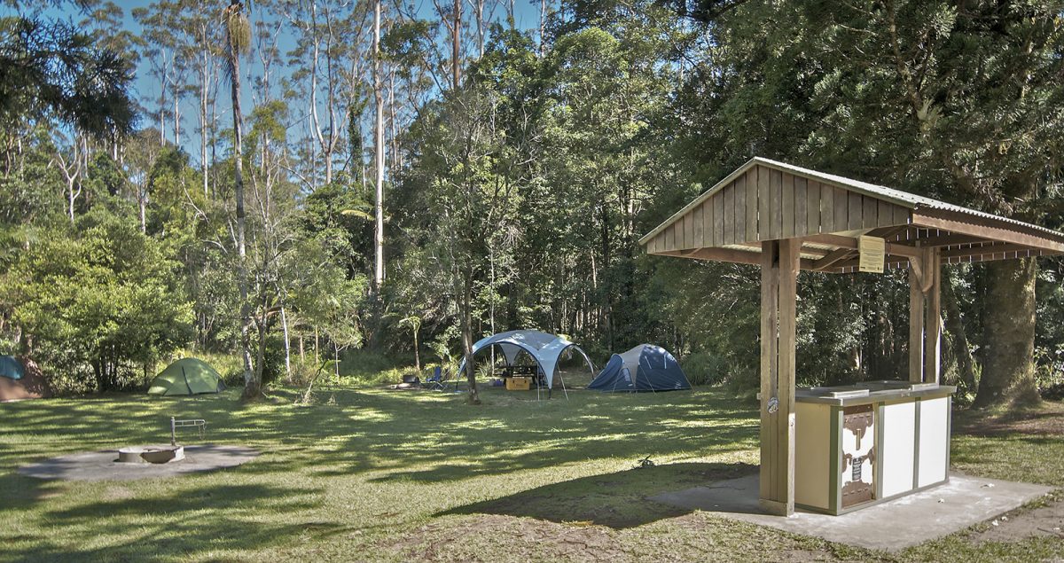 Photo Information
Rummery Park campground
Whian Whian State Conservation Area
John Spencer/DPIE (2012)
Head straight to Rummery Park Campground along Nightcap Range Road once you’ve ticked off Protesters Falls. It’ll take about an hour to wind through the 37km to the campsite. Bookings are online only for this campground and there’s no reception, so book ahead!
Rummery Park is 2km from Minyon Falls, so you can set up your tent and relax!
Minyon Falls
View this post on InstagramMinyon Falls has a few vantage points, but nothing compares to the complete Minyon Falls Walking Track.
The loop starts at the top of the falls and skirts the cliffline, before descending through a patch of the most incredible old-growth brushbox trees that twist and disappear into the canopy high above. The track then slowly ascends through thick vines to the misty base of the 100m high Minyon Falls.
View this post on InstagramWhen you’re done, climb up the other side of the valley and walk up Minyon Falls road to where you started. The loop is 6.9km before you add the side trip to the base of the falls, so take water, good walking shoes and snacks!
View this post on InstagramThis is the walk you want to do. The swim at the base of the falls will be all the sweeter knowing that you took in parts of the rainforest that most visitors never see. What a way to end a road trip.
Ranger Tip: Waterfalls can offer amazing photo opportunities and are adventurous places to cool off after a long, hot walk. Please take note of these safety tips and stay safe around waterfalls.
DownloadNSW National Parks appDownload your next adventure