Around 220 million years ago, in the north of what is now New South Wales, volcanic magma began to cool and turn into granite. Granite only forms beneath the earth’s surface, so any that you see today has been pushed upwards, while the softer rocks above have been eroded away.
This is what makes Granite Country such a spellbinding place to visit. Plunging gorges, sky-piercing granite tors, and hulking balancing boulders turn the awe-levels up to 11. Volcanic forms exposed by the passage of time.
NSW Granite Country is part of the New England Granite Belt, which is itself part of the Great Dividing Range. You might have heard of Bald Rock and Gibraltar Range National Parks. But did you know that the NSW National Parks & Wildlife Service looks after quite a few national parks and conservation areas in the region?
These parks are not to be missed, so we’ve put together a 2-part series of road trip itineraries to take you there! You’ll get to see the full range of diversity on offer and explore the quieter parks that most people haven’t even heard of.
Ranger tip: national parks are natural and unpredictable environments. We want you and your buddies to have the best, and safe time so always tell loved ones where you’re going (and when to expect you back), plan your trip for all weather conditions, and don’t forget to check for park and safety alerts
-
Bald Rock National Park
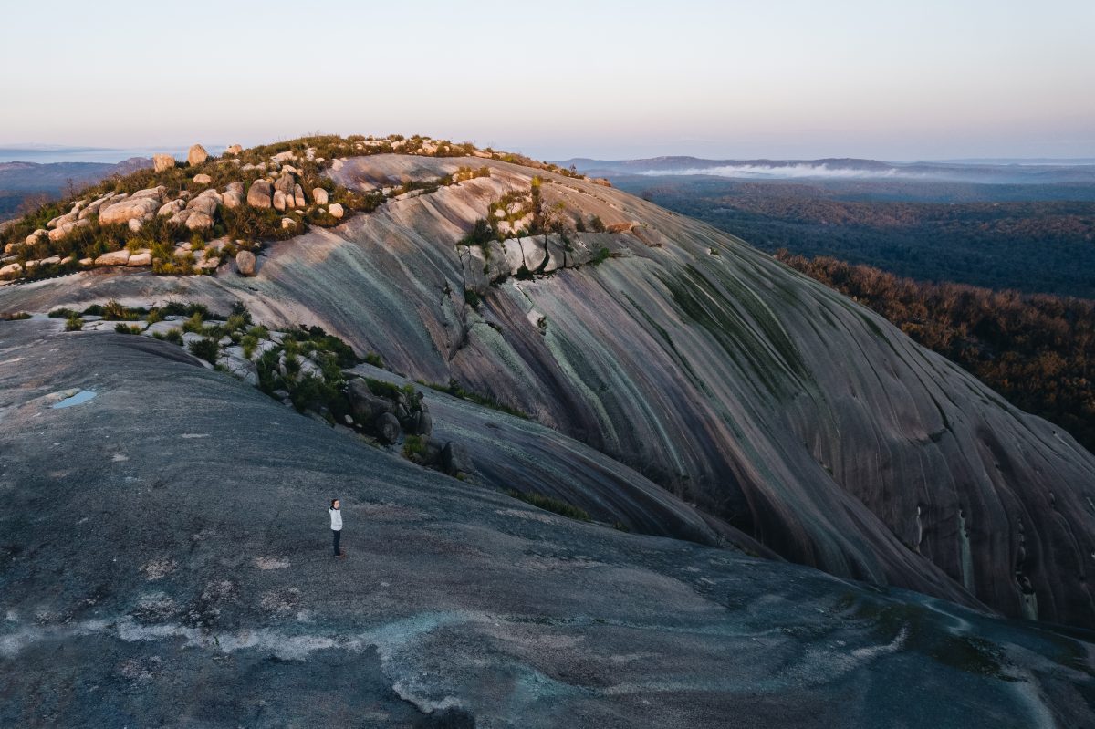 Photo Information
At the top of summit of Bald Rock
Rockface walk, part of the Summit walking track
Bald Rock National Park
Harrison Candlin / DPE (2021)
We begin our journey through NSW Granite Country at Bald Rock National Park. Found near the NSW-QLD border, about a 230km drive inland from Byron Bay, the park is a favourite for its panoramic views and the majestic Bald Rock monolith. What’s more, the park was established in 1971, so 2021 marked its 50th anniversary of becoming a national park.
Bald Rock National Park takes its name from its most stunning feature, Bald Rock itself. At 750m long and 500m wide, it’s the largest granite monolith (rock) in Australia, and it rises over 200m above the surrounding landscape (and 1277m above sea level!).
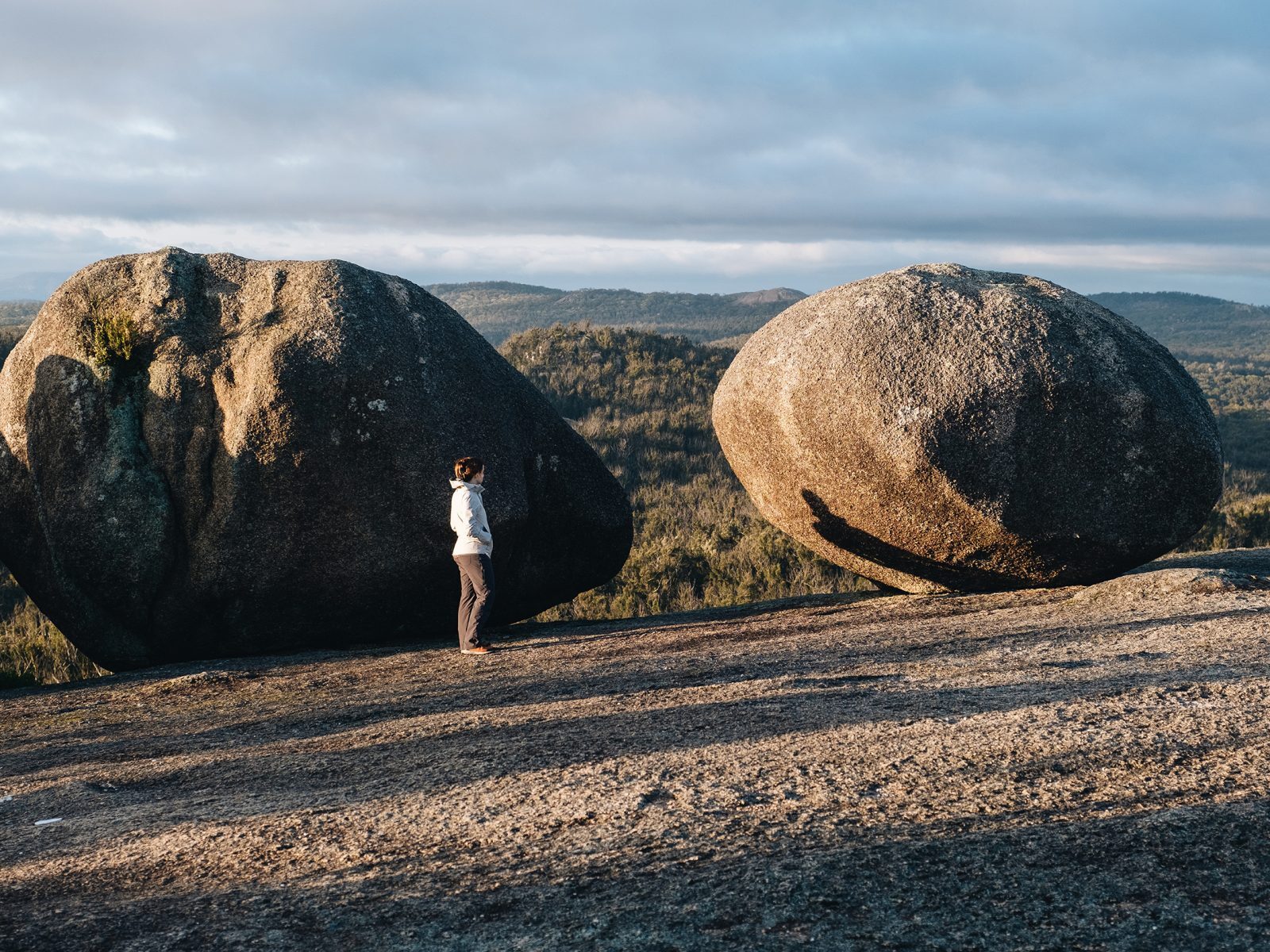 Photo Information
Granite boulders on Bald Rock at sunrise
Bungoona walk, part of the Summit walking track
Bald Rock National Park
Harrison Candlin / DPE (2021)
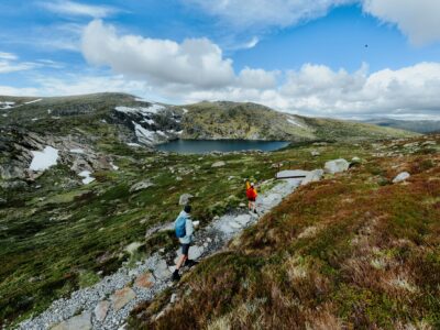
The grade 3 Summit walking track is the best way to experience the majesty of Bald Rock. The track offers two routes to the summit, the easier Bungoona walk (5km return) winds through granite boulders on a gravel path towards the summit, while the Rockface walk (3.2km return) climbs up the steep face of the rock itself!
Ranger Tip: Not sure what the grades mean? This article explains how they work.
The Summit track starts and ends at the tranquil Bald Rock campground and picnic area, perfect for a post hike cookup! Just make sure you book ahead if you intend to camp.
Before you go: Check out the latest fire safety info, including park alerts, closures and park fire bans.
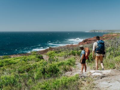
If you’re keen for more hiking then the Border walk is a must. The 13.7km loop (how good are loops!) meanders through classic Australian bushland with sturdy banksias surrounded by wildflowers including grevillea, boronia and wattle species. At its most northern point, you’ll look out over Bald Rock itself, and get a sense of its sheer size.
Ranger Tip: Keep an eye out for wallabies, possums, and gliders if you’re walking around dawn or dusk! Just remember to keep your distance and keep wildlife wild don’t feed it
DownloadNSW National Parks appDownload your next adventure
-
Torrington State Conservation Area
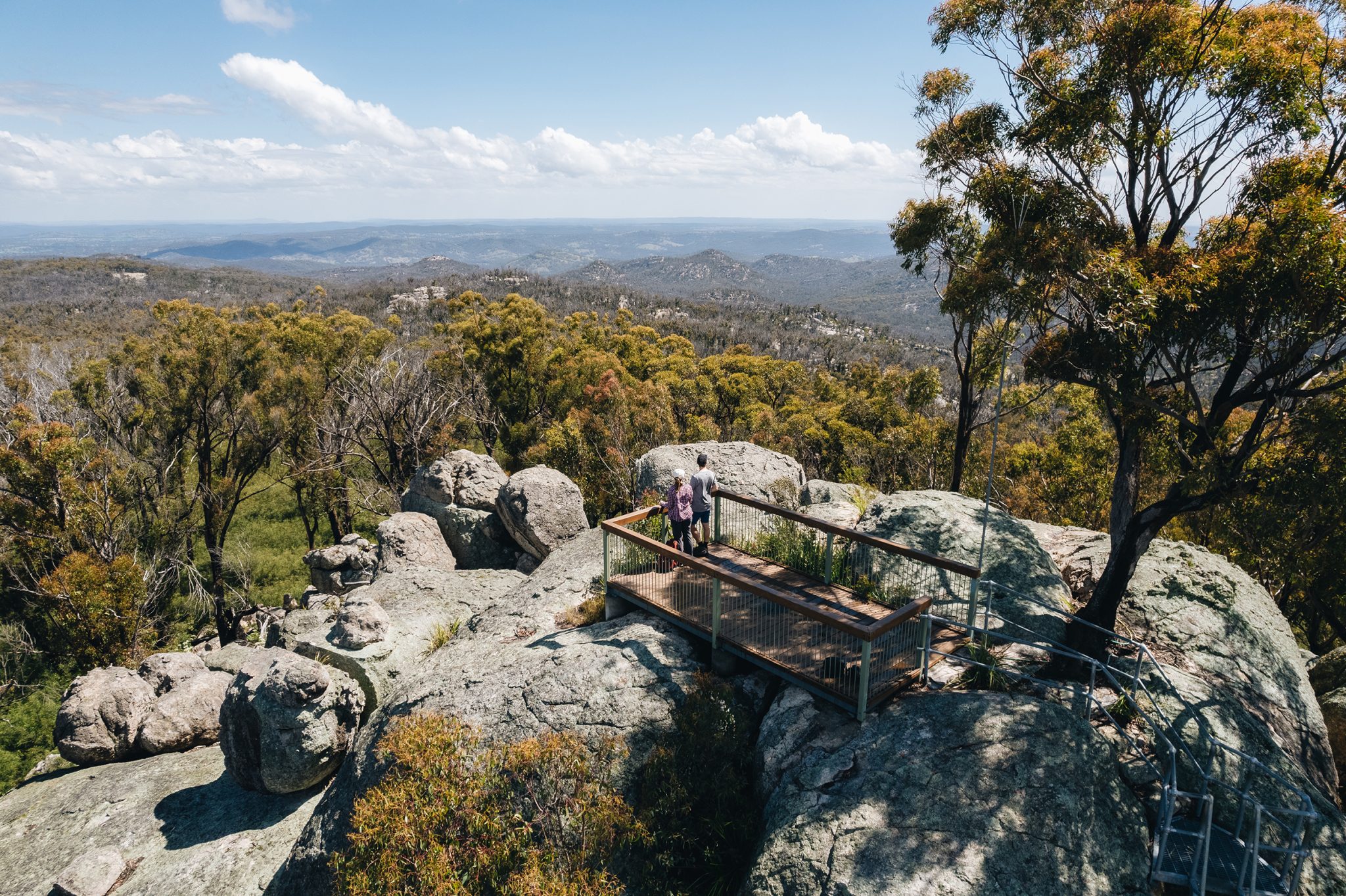 Photo Information
A climb that’s worth the view
Thunderbolts Lookout
Torrington State Conservation Area
Harrison Candlin © Harrison Candlin / DPE (2021)
Jump in the car and shoot 80 minutes (96km) south west to Torrington State Conservation Area. We’re following the New England Granite Belt and highlighting all the best places it breaks through the earth’s crust.

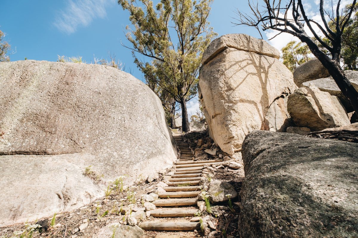 Photo Information
When you see steps you know it will be worth it at the top.
Thunderbolts Lookout walking track
Torrington State Conservation Area
Harrison Candlin © Harrison Candlin / DPE (2021)
 Photo Information
The way down is always easier
Thunderbolts Lookout walking track
Torrington State Conservation Area
Harrison Candlin © Harrison Candlin / DPE (2020)
Your first stop has to be the 2km return walk to Thunderbolts Lookout. Named after the famous local bushranger, the rocky outcrop offers panoramic views of the area after a short but spicy climb (the hike is labelled grade 3). Enjoy wildflowers on the way and keep an eye out for glossy black cockatoos flying above.
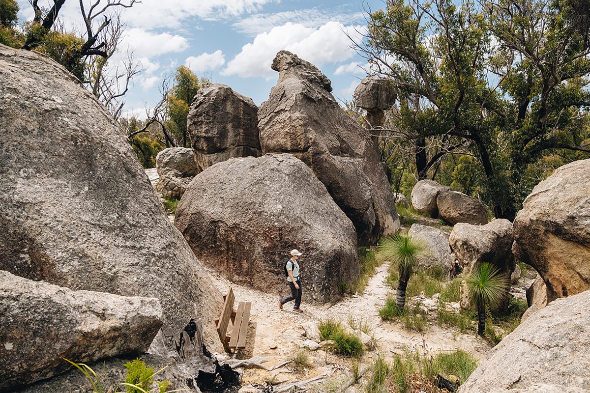 Photo Information
What mystery faces are there to uncover on this track?
Mystery Face walking track
Torrington State Conservation Area
Harrison Candlin © Harrison Candlin / DPE
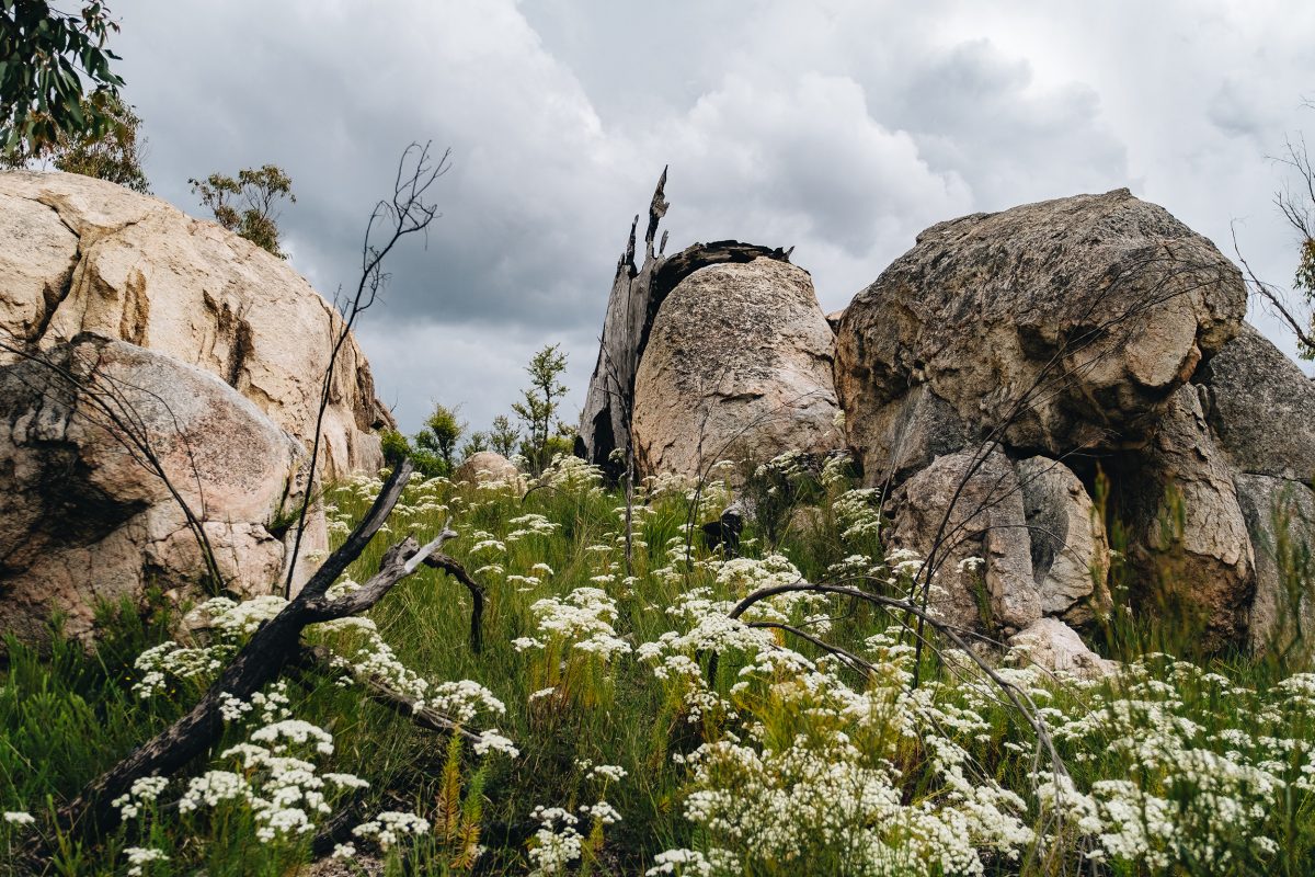 Photo Information
What do you see in these granite formations?
Mystery Face walking track
Torrington State Conservation Area
Harrison Candlin © Harrison Candlin / DPE (2021)
After recouping at Nomads picnic area you’ll want to head to Mystery Face picnic area to prepare for your next adventure, the 2.6km Mystery Face walking track. This one’s a loop (we love loops!) that follows intriguing granite formations that dot the woodland.
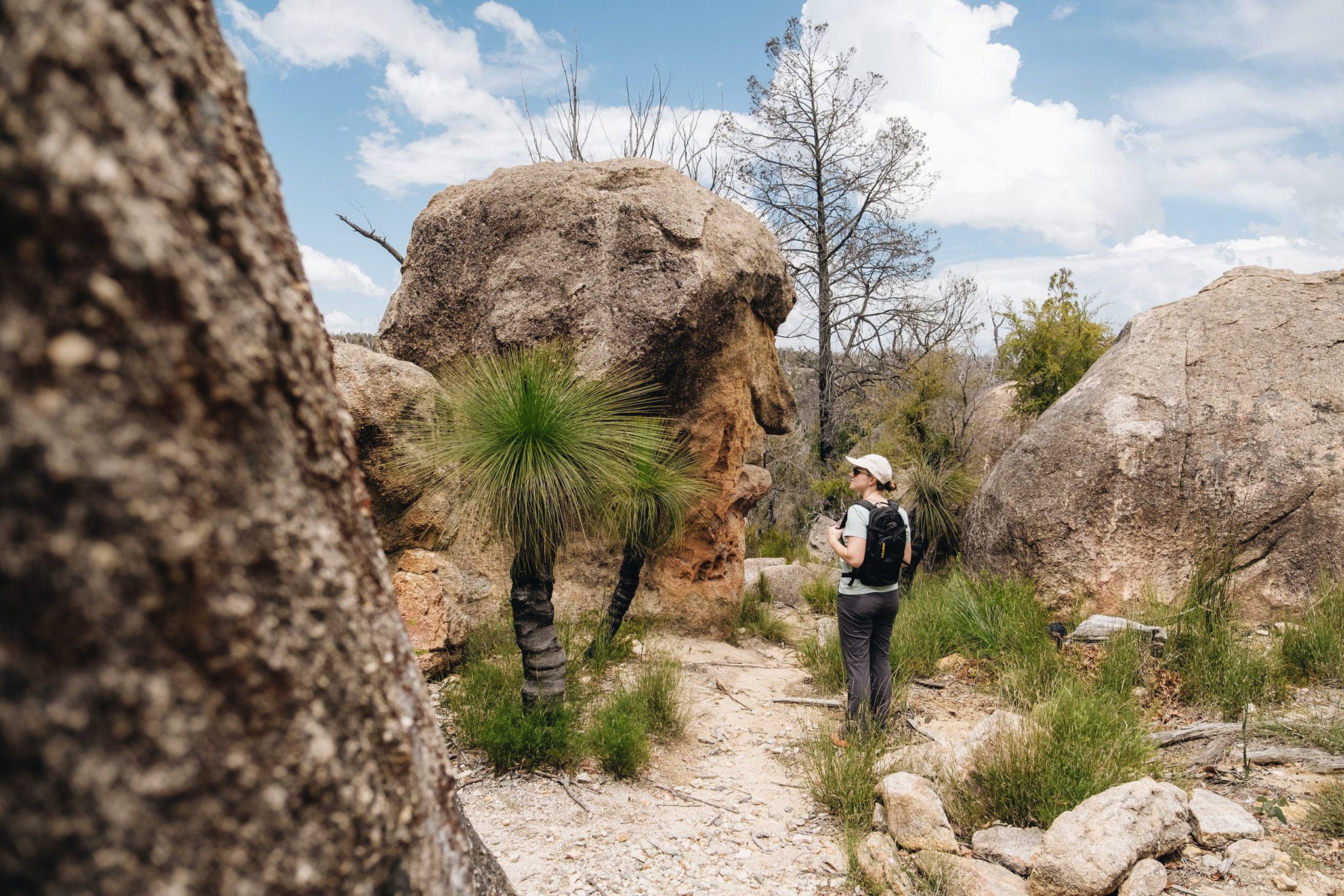 Photo Information
A… mystery face!
Mystery Face walking track
Torrington State Conservation Area
Harrison Candlin © Harrison Candlin / DPE (2021)
Keep quiet as you stroll to maximise your chances of spotting lizards and birdlife, including the striking flame robin, with its bright red breast. The ‘Mystery Face’ rock formation reveals itself towards the end of the walk, but that’s all we’ll say! Top secret stuff.
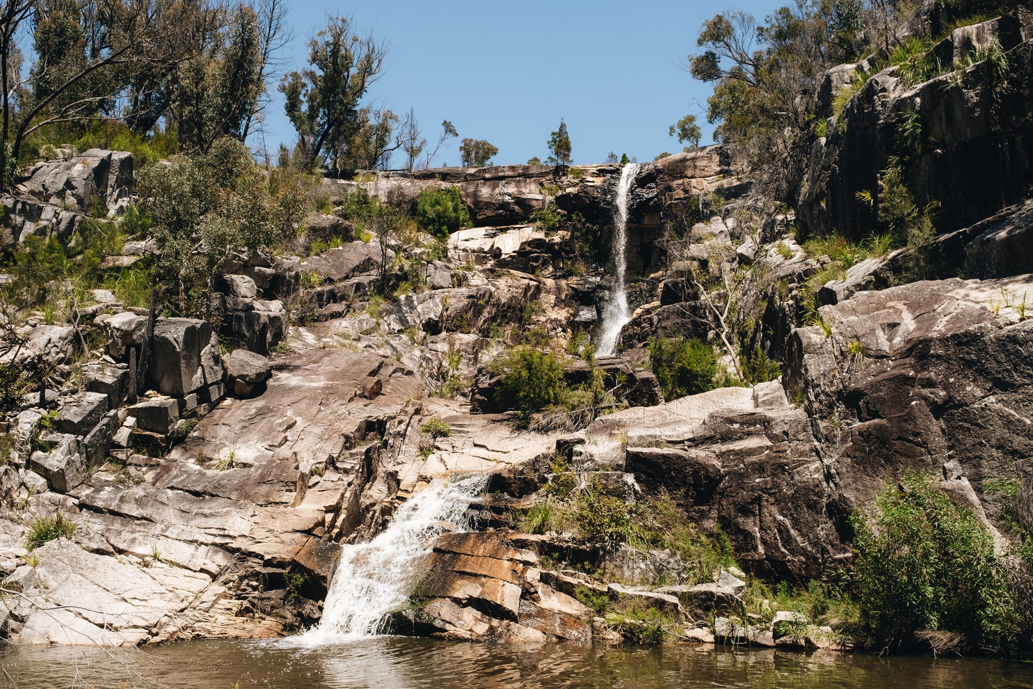 Photo Information
It’s not an Ugly Corner though?
Ugly Corner Falls
Torrington State Conservation Area
Harrison Candlin © Harrison Candlin / DPE (2022)
Got one more walk in you? Good! Because we’re hitting the dirt track to Blatheram campground and picnic area, just down the road from the Ugly Corner Falls walking track. We reckon staying the night in Torrington State Conservation Area is a must, and with only 10 spots, this remote bush campground is sure to give you a restorative nature fix.
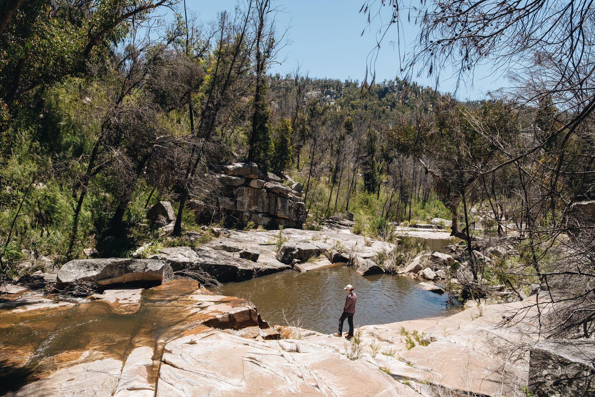 Photo Information
Taking a moment at one of the lower pools on the Ugly Corner falls walking track
Ugly Corner Falls walking track
Torrington State Conservation Area
Harrison Candlin / DPE (2021)
The 3km return walk to Ugly Corner Falls is a grade 4 track, with rock hopping and creek crossings to start. The waterfall’s good after rain, but the highlight is really the plantlife. The Torrington wattle only grows in this region, thanks to acidic, granite-based soils and a bit of altitude, and the endangered Beadle’s grevillea can be seen in the warmer months. Keep an eye out for the distinctive red and black bristles.
DownloadNSW National Parks appDownload your next adventure
-
Kwiambal National Park
View this post on InstagramTwo hours drive from Torrington State Conservation Area, north of Inverell and surrounded by places with names like ‘Gravesend’, ‘North Star’ and ‘Texas’, lies remote Kwiambal National Park. Kwiambal (pronounced Kigh-am-bal) is named after local Aboriginal people of the Ashford district. The park is 3400 hectares of wild terrain, studded with granite outcrops.
First stop is Macintyre Falls lookout. It’s only an easy 200m walk from the picnic area to the top of the gorge. Try the 600m walk down to the river, featuring a rock hop to a plunge pool if you’re more about that luxe life.
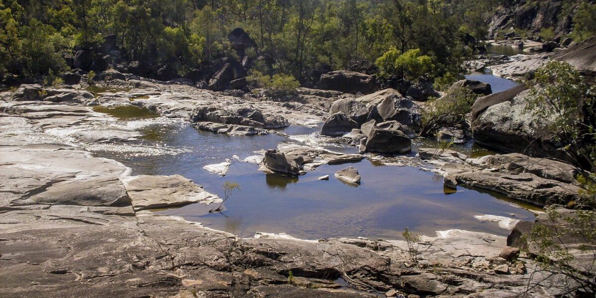 Photo Information
Slippery Rock walking track
Kwiambal National Park
Michael Van Ewijk / DPE
Leaving from the same Macintyre Falls picnic area is the Slippery Rock walking track. This 4km grade 4 hike is a tough one, but it’s the perfect way to acquaint yourself with the terrain that makes granite country so unique. Steep scrambles will lead you to views of plunging gorges and rocky river beds but, as the name hints, remember that granite is slippery when wet!
A place like Kwiambal National Park begs you to stay the night. Luckily there are three options. Lemon Tree Flat campground is close to the river, suitable for caravans and even has drinking water available, just make sure you book ahead! Nearby Kookibitta campground on the other hand is perfect for your bush camping needs, with fewer campsites and facilities, but don’t worry, it’s also close to the gorgeous Severn River.
Lemon Tree Flat campground is near the trailhead for the Junction walk, a 7km return hike that takes you to the meeting point of the Severn and McIntyre rivers, the two key rivers within the park. Leave time to check out the Dungeon lookout too – a steep granite gorge with a tendency to be dramatic.
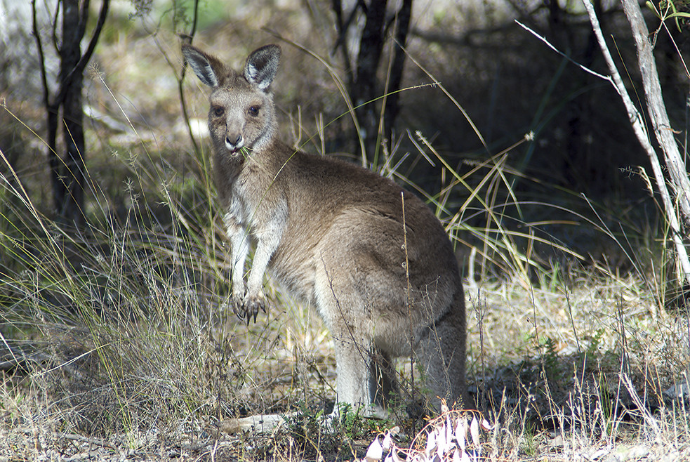 Photo Information
Just a local hanging out.
Lavender Vale Homestead
Kwiambal National Park
Michael Van Ewijk / DPE
Larger groups might appreciate the creature comforts of Lavender Vale Homestead instead of camping out. This property is conveniently located right in the centre of the park. Watch kangaroos roam the plains at dusk as you immerse yourself in Kwiambal’s fantastic scenery.
DownloadNSW National Parks appDownload your next adventure
Press to open with Google Maps
Ready For Another One?
Granite country is massive, so big that one road trip definitely isn’t enough! Click here to refasten your seatbelts, this time we’re exploring Boonoo Boonoo, Basket Swamp, Gibraltar Range, and Washpool national parks.